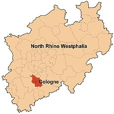
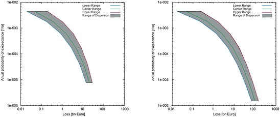
macroscale investigation level
detail study: Lower Rhine Embayment
A hybrid approach was chosen, using official statistics for the commercial sector and a combination of official statistics and insurance data for private housing. In this way, total values for the study area were estimated. These total values were then distributed on the basis of ATKIS, the official German topographic-cartographic information system.
references
Schwarz J., Langhammer, T., Maiwald, H., Smolka, A. (2004): Comparative Seismic Risk Studies for German Earthquake Regions - Damage and Loss Assessment for the City of Cologne. Proceedings 13th WCEE Vancouver/Vanada, August 1-6, 2004, Paper No. 238.
Schwarz J., Maiwald, H., Raschke, M. (2004): Zu erwartende Erdbebenszenarien für deutsche Großstadträume und Quantifizierung der Schadenspotentiale. Bericht zu Teilprojekt B31. In: DFNK- Endbericht (Hrsg. B. Merz, H. Apel), GeoForschungsZentrum Potsdam.


